
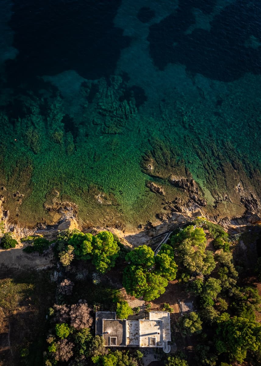
01 / MAP
Orthomosaic drone mapping
Get an orthomosaic drone map, 20 edited aerial photos, and a short annotated report. A practical baseline for understanding and sharing visible site conditions.
Explore orthomosaic drone mappingLake Norman, North Carolina
Lake Norman Aerial Reports provides drone mapping and photos, textured 3D models, and construction progress monitoring around Lake Norman and Mooresville, North Carolina. Delivered within 48 hours of your flight.
Mapping & Photos from $650 · Mapping + 3D Model from $1,050
Three focused offers
Map, model, or monitor
48-hour delivery
After your flight
Clear deliverables
Scope agreed before booking
Choose the view you need today and the update schedule that makes sense for tomorrow.
01 / MAP
Get an orthomosaic drone map, 20 edited aerial photos, and a short annotated report. A practical baseline for understanding and sharing visible site conditions.
Explore orthomosaic drone mapping02 / MODEL
Add drone 3D modeling to your map and photo package. A textured photogrammetry model lets you review visible structures and site features from multiple viewpoints.
Explore drone 3d modeling03 / MONITOR
Track construction progress or recurring property changes with dated aerial photos, updated maps, matching viewpoints, and visual change summaries.
Explore construction & property monitoringStart with a map and photos, add a 3D model, or build a monitoring plan around your schedule.
From $650
A current aerial record of your property or project site.
Starting price covers one accessible site up to five acres. Final pricing depends on site complexity, travel, and agreed deliverables.
Request a Mapping QuoteFrom $1,050
A map, photo set, and navigable model for a fuller view of your site.
Starting price covers one accessible site up to five acres. Model complexity, coverage, and output formats are confirmed before booking.
Request a Modeling QuoteCustom pricing
Scheduled aerial updates built around your property and project timeline.
Quoted by site size, visit frequency, project duration, and reporting needs. 3D model updates can be scoped separately.
Discuss a Monitoring PlanChoose a one-time map for a baseline record, add a 3D model for more viewing angles, or schedule monitoring to compare changes over time. All prices are in USD.
| Your project | Mapping & Photos | Mapping + 3D Model | Ongoing Monitoring |
|---|---|---|---|
| Best for | A one-time overhead map and photo record of a property or project site. | A map and photo record with a textured model for review from multiple angles. | Tracking visible site changes through a baseline and scheduled return visits. |
| Capture schedule | One site visit | One site visit | Agreed recurring schedule |
| 3D model | Available in the model package | Textured 3D model included | 3D updates scoped separately |
| Starting price | From $650 | From $1,050 | Custom pricing |
| Digital delivery | Within 48 hours of your flight | Within 48 hours of your flight | Within 48 hours of each flight |
Every project comes with an organized digital handoff. We confirm coverage, file formats, and how you plan to use the deliverables before booking.
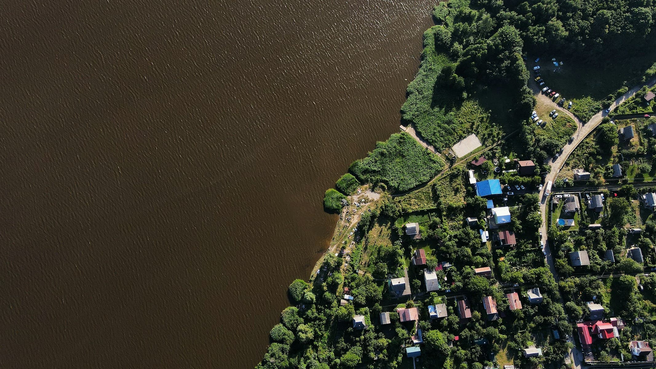
See the overall site, document visible features, and share context with the people working on your property.
Use construction progress drone photos and updated site maps to keep owners and stakeholders informed between site visits.
Create a baseline for a property or common area, then return to compare visible conditions over time.
Share the site address, approximate size, selected package, and intended use. We confirm coverage, outputs, pricing, and the flight window with you.
We plan and capture the imagery for your map, photo set, and any model. Weather and airspace access determine the suitable flight date.
Your agreed deliverables arrive digitally within 48 hours of your flight. Monitoring plans repeat the process on your agreed schedule.
Drone mapping, 3D modeling, and site monitoring around Lake Norman, North Carolina. Send your site address to confirm coverage and any travel costs.
Mapping & Photos starts at $650 and includes an orthomosaic map, 20 edited aerial photos, and a short visual report. Starting price covers one accessible site up to five acres. Final pricing depends on site complexity, travel, and agreed deliverables. Mapping + 3D Model starts at $1,050. Ongoing Monitoring is custom priced based on site size, visit frequency, project duration, and reporting needs. Send your property address and project goals for a confirmed quote.
Agreed deliverables are delivered digitally within 48 hours of your flight. This includes the maps, photos, reports, and any 3D model included in your confirmed scope. Monitoring updates follow the same turnaround after each flight.
Lake Norman Aerial Reports serves Lake Norman, including Mooresville, Cornelius, Davidson, Huntersville, Troutman, Denver, Sherrills Ford, Terrell, and Statesville. Share your site address to confirm coverage and any travel costs.
An orthomosaic gives you a flat overhead view of a site. A textured 3D model lets you review visible structures and site features from multiple angles. The model package includes both, along with the photo set and visual report.
An approximate site size is helpful, but you can write Not sure in the quote form. Tell us what you want to document and how you will use the files, and we will confirm coverage and formats with you before booking.
The starting prices for Mapping & Photos and Mapping + 3D Model cover one accessible site up to five acres. For a larger or more complex site, share the address, approximate size, and intended use so we can confirm coverage and quote the work. Travel, model scope, and required output formats also affect pricing.
These packages provide aerial imagery, models, and visual documentation. They do not establish legal property boundaries or replace licensed land surveys, engineering assessments, or certified inspections. Discuss any required measurement accuracy or professional certification before quoting.
We coordinate a suitable flight window with you. If weather or airspace access prevents capture, we reschedule the flight. The 48-hour delivery window starts after the flight takes place.
Share the site, the package you have in mind, and what you want to document.
We review your site and intended use, then confirm coverage and deliverables.
You receive a confirmed quote and suitable flight windows.
You approve the scope. Your files arrive within 48 hours of the flight.
Prefer to call? (781) 492-9011